Navigating rising waters
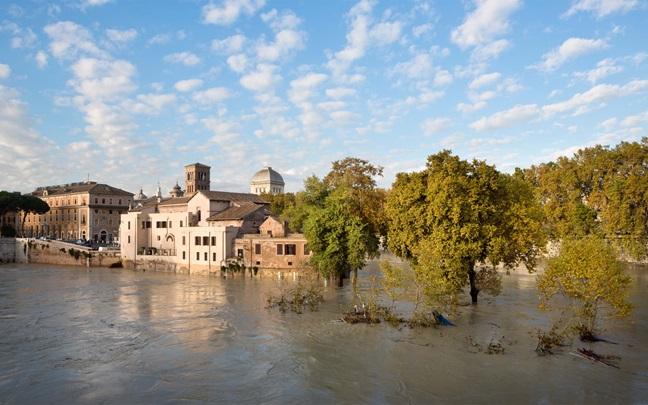
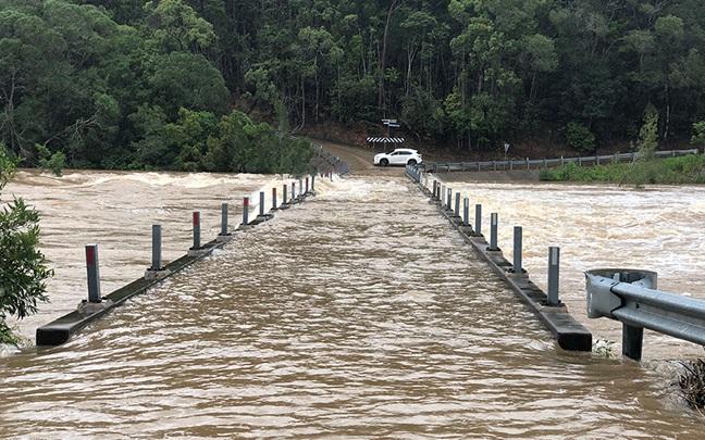
Flooding is the most common form of natural catastrophe and becoming more pervasive. Many places in areas previously considered safe are now at risk of flood damage.
In this changing landscape, potential losses may be much higher than historic assumptions.
You need a clearer picture of your organization’s risks at key locations to help protect your assets.
A variety of climate-related factors are combining to increase the risk of flooding around the world and increase the severity of the impact.
- Rising temperatures mean the atmosphere holds more water, leading to heavier downpours.
- Heat and drought can cause the earth to compact so it’s unable to absorb heavy rain.
- Glacier melt is adding more water to already saturated drainage systems.
- Rising sea levels are increasing the risk of coastal flooding in many areas.
As well as the damage to physical assets, flooding can also disrupt business operations and value chains, posing financial risks that extend beyond the location of the hazard.
Our natural catastrophe team can help you understand and mitigate your flooding risk.
Hazard assessment
With hazard mapping tools such as WTW’s Global Peril Diagnostic, we can plot flood risk at your locations on a map, using accurate geolocation information.
From this, and a detailed hazard assessment also reviewing historical flood events, we can further assess the likely impact at site level. We can also model future changes in flooding risk under several climate scenarios and time periods.
Catastrophe modeling
Based on primary information such as latitude and longitude, construction type, and secondary information such as equipment bracing and construction quality, models quantify the probable average annual loss and maximum losses from a portfolio level and at individual locations.
This can help you make better decisions about risk transfer options and insurance limits.
Once your flooding risk has been assessed, our natural catastrophe specialists provide WTW’s property brokers with information and support to create the best placements for our clients, either as standalone cover for flooding or as part of a global multi-peril program. We also support client programs by helping to reinsure individual layers of risk through our facultative team.
Risk engineering and site surveys
If needed, we can survey a site in person to take a more detailed review on building and equipment vulnerability, local flood defences, emergency response plans and location of electrical and other key equipment.
This can help provide a more accurate, granular picture of probable loses and identify actions to reduce and manage risks.
Our risk engineers can identify a range of mitigation options to reduce your risk from flooding and minimize the impact if a flood occurs.
They can also perform a cost-benefit analysis of each option to help you decide which measures are best to reduce your risks and provide adaptation recommendations to help increase your resilience to a changing climate.
Get in touch
Talk to our specialists to discover a smarter way to assess, mitigate, or transfer your flooding risks. Get in touch with our specialists listed at the top of this page.


